
Civil & Site Engineering in Massachusetts
Civil & Site Engineering Services Mass Land Surveying provides full-service civil and site engineering solutions to help clients plan, design, …
Learn More
Professional Land Surveying Services in Massachusetts
Professional Land Surveying Services in Massachusetts At Mass Land Surveying, we provide full-service land surveying across Central, Southeastern, …
Learn More
Environmental Consulting & Remediation in Massachusetts
Environmental Consulting & Remediation Services Mass Land Surveying offers comprehensive environmental consulting and remediation services …
Learn More

Professional Land Surveying Services in Massachusetts
Professional Land Surveying Services in Massachusetts At Mass Land Surveying, we provide full-service land surveying across Central, Southeastern, …

ALTA/NSPS Land Title Surveys in Massachusetts
ALTA/NSPS Land Title Surveys Commercial and institutional projects demand precision, compliance, and reliability. Mass Land Surveying provides …

As-Built & Record Surveys in Massachusetts
As-Built & Record Survey Services Every project needs precise documentation at completion. Mass Land Surveying provides As-Built and Record …

Boundary & Property Line Surveys in Massachusetts
Boundary & Property Line Surveys Defining your property boundaries is the foundation of every successful project—whether you’re building, …

Permitting & Regulatory Coordination in Massachusetts
Permitting & Regulatory Coordination Services Navigating Massachusetts permitting requirements can be complex. Mass Land Surveying provides …

Construction Layout & Staking in Massachusetts
Construction Layout & Staking Services Accurate layout is critical to keeping your project on schedule and within tolerance. Mass Land Surveying …
Environmental Consulting & Remediation in Massachusetts
Environmental Consulting & Remediation Services Mass Land Surveying offers comprehensive environmental consulting and remediation services …
Civil & Site Engineering in Massachusetts
Civil & Site Engineering Services Mass Land Surveying provides full-service civil and site engineering solutions to help clients plan, design, …

Utility & Infrastructure Surveys in Massachusetts
Utility & Infrastructure Survey Services Utility and infrastructure projects demand accuracy, reliability, and coordination. Mass Land Surveying …

Wetland & Environmental Mapping in Massachusetts
Wetland & Environmental Mapping Services Environmental permitting in Massachusetts demands precision and regulatory awareness. Mass Land …

Topographic & Site Mapping in Massachusetts
Topographic & Site Mapping Services Topographic and site mapping is essential for any design, planning, or engineering project. Mass Land …

FEMA Elevation Certificates & Floodplain Mapping in Massachusetts
FEMA Elevation Certificates & Floodplain Mapping Services Floodplain compliance and accurate elevation data are critical for both safety …

Septic System Design & Redesign in Massachusetts
Septic System Design & Redesign (Title 5 Engineering) Proper septic design is critical to protecting both property and the environment. Mass …

Solar Field Surveying & Civil Engineering in Massachusetts
Solar Field Surveying & Civil Engineering Solar development requires accuracy, coordination, and compliance. Mass Land Surveying provides …

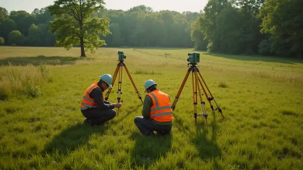
Inside Look at Land Survey Equipment Revolutionizing Accuracy Lakeville, MA
Did you know? A single misplaced boundary marker in Massachusetts can cost homeowners and developers tens of thousands of dollars in legal fees or project delays. Today, land survey equipment delivers precision measured in millimeters, virtually eliminating these expensive setbacks. Discover the game-changing technology and expert insights enabling Lakeville, MA projects to meet the state’s...Continue reading→

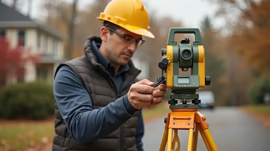
Licensed Land Surveyor: Why You Can’t Afford to Skip One Lakeville, MA
Did you know nearly 30% of all land disputes in Massachusetts result from missing or incorrect surveys? For homeowners, builders, and developers in Lakeville, MA, skipping a licensed land surveyor can expose you to legal disasters, permit nightmares, and costly surprises. From boundary errors to failed inspections, bypassing this crucial step threatens not only your...Continue reading→

Land Survey Cost Explained: What You Need to Know Now Lakeville, MA
Did you know over 70% of real estate disputes in Lakeville, MA, begin with unclear property lines? Whether you’re a homeowner considering a property improvement, a developer aiming to break ground, or an architect preparing a site plan, understanding land survey cost in Massachusetts is not optional—it’s essential for project approval, legal security, and avoiding...Continue reading→
Topographic Survey Near Me—Uncover Your Land’s Hidden Details Lakeville, MA
Did you know that over 70% of site development delays are caused by incomplete or inaccurate land data? When launching a real estate dream or development plan in Lakeville, MA, a topographic survey near me isn’t optional—it’s your first line of defense against costly surprises, delays, and regulatory headaches. In this guide, you’ll discover how...Continue reading→
Property Boundary Survey: Avoid Costly Land Disputes Today Lakeville, MA
Have you ever wondered if a simple property boundary survey could save you from a legal nightmare over a few inches of land? In busy Lakeville, MA, where real estate values are rising and properties sit side-by-side, even minor errors in property lines can explode into costly disputes and construction delays. This expert guide explores...Continue reading→
Discover Top Land Surveying Services That Ensure Accuracy Lakeville, MA
Did you know that nearly 30% of local development setbacks in Massachusetts are triggered by inaccurate land surveys? This surprising statistic underscores the critical importance of choosing land surveying services that prioritize technical mastery and precise compliance with complex Massachusetts regulations. Whether you’re a homeowner seeking a permit or a developer driving a multi-lot subdivision,...Continue reading→

Why Choosing a Local Land Surveyor Saves You Time and Money Lakeville, MA
Did you know: 82% of property boundary disputes in Massachusetts are resolved by hiring a professional local land surveyor—often saving thousands in legal fees and months of delays. If you’re planning construction, purchasing property, or resolving property lines in Lakeville, MA, working with a local land surveyor could be the single best move to keep...Continue reading→

Find the Best Land Surveyor Near Me—Fast & Reliable Lakeville, MA
Did you know? In Massachusetts, a single surveying mistake can stall a project for weeks, derail real estate closings, or lead to costly land dispute litigation—sometimes adding $10,000 or more to your budget. Whether building, buying, or securing compliance, hiring a land surveyor near me isn’t just a checkbox—it’s the make-or-break step for your entire...Continue reading→
Building or Rebuilding on Cape Cod? Get Your FEMA Elevation Certificate Early
Building or Rebuilding on Cape Cod? Get Your FEMA Elevation Certificate Early Don’t Let Floodplain Regulations Delay Your Coastal Project If you’re planning new construction, an addition, or an insurance adjustment in Coastal Massachusetts, one document can make or break your timeline — the FEMA Elevation Certificate. At Mass Land Surveying, our licensed surveyors and...Continue reading→

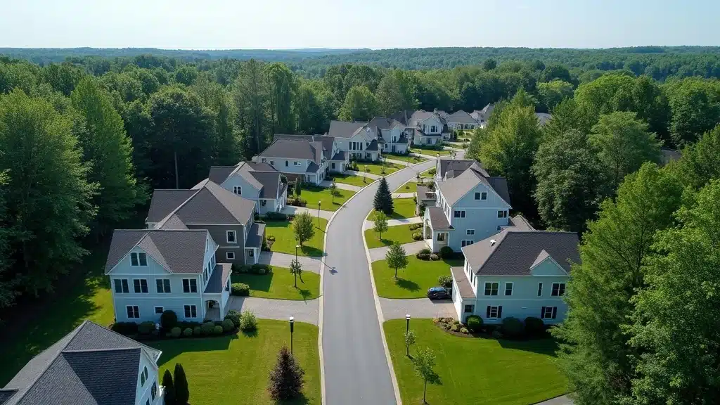
Planning a New Home in Southeastern Massachusetts? Don’t Overlook Septic Design & Site Engineering
Planning a New Home in Southeastern Massachusetts? Don’t Overlook Septic Design & Site Engineering A Successful Home Build Starts Underground When planning a new home or addition in Southeastern Massachusetts, most homeowners focus on floor plans, finishes, and budgets — but the most important system is the one you’ll never see: your septic system. A...Continue reading→